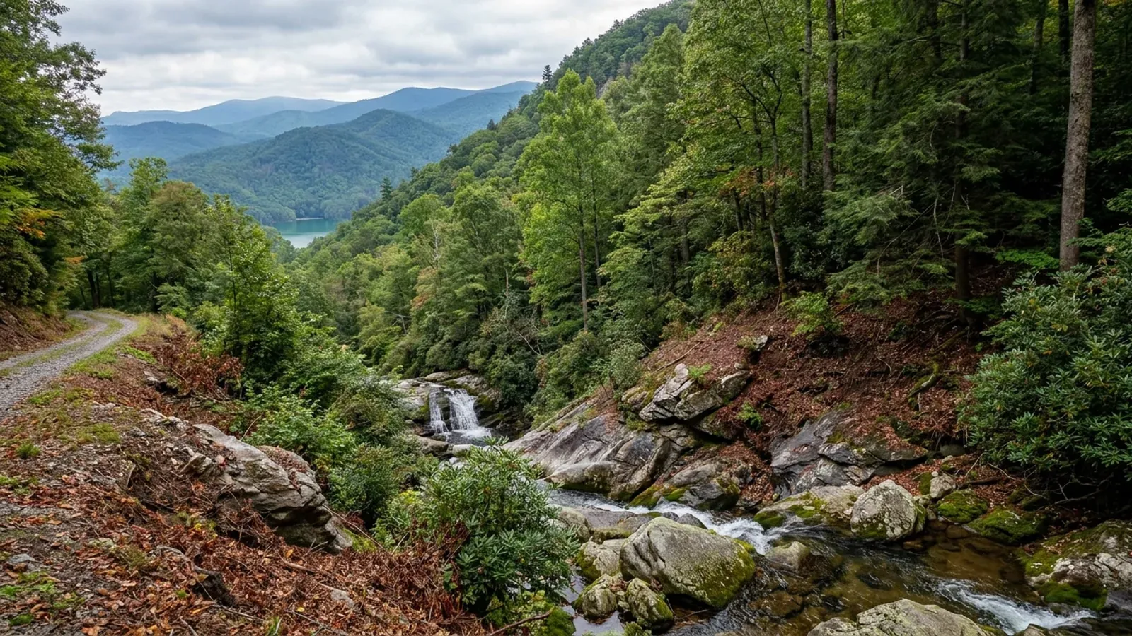
Barndominium Builders in Oconee County, SC
Oconee County has a zoning ordinance that covers the whole unincorporated county and, on most of the land in it, regulates nothing about how you use your acreage. The Zoning Enabling Ordinance applies countywide by its own jurisdiction clause, then drops every parcel into a Control Free District where, in the ordinance's words, use "shall not be regulated by this Chapter" — and land only leaves that district when the people who own it petition to rezone. So the usual question is the wrong one here. S.C. Code Section 6-29-330(A) lets a county zone "the total unincorporated area or specific parts of the unincorporated area", and Oconee has effectively done the second by handing the map to its citizens. Ask whether your parcel is zoned, not whether the county is. Then read the things that bind regardless: the flood chapter, the lake overlay, the septic regulation and the state building code.
Building conditions in Oconee County
The building code is the same in every South Carolina county: S.C. Code § 6-9-10(A) requires each municipality and county to enforce the Building Codes Council's codes and to enforce only those, and SC Regulation 8-236(C) bars a local jurisdiction from writing one of its own. The design numbers are not local either, but they are not one number for the state — Regulations 8-1202 and 8-1203 send wind and seismic to the Council's own map for this county, and those maps are drawn as contours, so the figure is read at your address rather than off a county name. What is genuinely local is who issues the permit and inspects the work, what that office charges, the permit procedure it adopted by ordinance, whether your parcel is zoned at all, and the rest of Table R301.2 — frost depth, termite probability and flood — which the jurisdiction fills in for itself.
Oconee County Zoning Enabling Ordinance, Sec. 38-10.2, as published by the county Planning Department at https://oconeesc.com/documents/planning-zoning/zoning-info/base-zoning-districts.pdf ; county statement at https://oconeesc.com/planning-and-zoning-home/zoning-info/zoning-districts (both loaded 5 Sep 2026)
Oconee County Zoning Enabling Ordinance 2007-18 (adopted 6 Nov 2008, implemented 1 May 2009; text amendments 19 May 2009 and 17 Aug 2010), Secs. 38-9.3 and 38-9.4, https://oconeesc.com/documents/planning-zoning/zoning-info/zoning-enabling-orinance-amended.pdf (loaded 5 Sep 2026)
Oconee County Planning Department, "Method 2 - Small Area Rezoning", https://oconeesc.com/documents/planning-zoning/zoning-info/small-area-method.pdf , "Method 1 - Planning District Initiated by Citizens", https://oconeesc.com/documents/planning-zoning/zoning-info/planning-district-method.pdf , and Planning & Zoning Common Questions, https://oconeesc.com/planning-and-zoning-home/common-questions (all loaded 5 Sep 2026)
SC Building Codes Council, "Wind/Seismic Maps", https://llr.sc.gov/bcc/maps.aspx — served HTML enumerated 5 Sep 2026, 35 counties listed, Oconee absent; mechanism at SC Regs 8-1202 and 8-1203, 2021 Code Modifications, SC State Register Vol. 46 Issue 5 (27 May 2022)
SC Building Codes Council, "2024 Combined Continued Modifications with Index", staff comment on the 2024 IRC R301.2.2.1 item, https://llr.sc.gov/bcc/Forms/2024%20Combined%20Continued%20Modifications%20with%20Index.pdf (PDF downloaded and read as extracted text, 5 Sep 2026)
Oconee County Building Codes, "Affidavit for Farm Structure", 415 South Pine Street, Walhalla, https://oconeesc.com/forms/building-codes/farm-structure-affidavit.pdf (loaded 5 Sep 2026); statute at S.C. Code § 6-9-65
Also worth knowing before you build in Oconee County
- Three feet of freeboard in the flood zone, and no basements
- Chapter 16 of the county code is one of the things Control Free land still has to obey. Section 16-122(1) requires new residential construction and substantial improvements in zones A, AE, AH, AO and A1-30 to have "the lowest floor elevated no lower than three feet above the base flood elevation", and adds, flatly, "No basements are permitted." Non-residential construction gets the same three feet. In an AO shallow-flooding area with no depth number on the flood map, the floor goes at least three feet above the highest adjacent grade. Three feet of freeboard is well beyond the national minimum, and on a wide slab-on-grade building it is a fill, retaining and driveway-grade problem long before it is a paperwork problem.
- Lake Keowee and Lake Jocassee carry an overlay that Control Free does not switch off
- Section 38-11.1 applies within 750 feet of the full pond contour of Lakes Keowee and Jocassee, measured perpendicular to that contour, and overlays apply to CFD parcels by the express terms of Section 38-10.2. Inside it: residential net density no greater than 2 dwelling units per acre, no structure taller than 65 feet above finished grade, grade not to be altered "beyond that necessary to provide for structural soundness", and every non-residential project subject to a Board of Zoning Appeals special exception. Waterfront parcels whose property line falls within 25 feet of full pond must establish a 25-foot natural vegetative buffer, recorded on a plat as a dedication running with the land, triggered at sale or transfer and again at the first building-codes inspection of a new structure. The county's fact sheet gives full pond as 800 feet above mean sea level on Keowee and 1,110 feet on Jocassee, caps a view lane at 15 percent of the buffer area, and bars removal of trees over six-inch caliper measured four feet up. Lake Hartwell frontage is not in the overlay.
- A post-frame or steel barndominium triggers plan review whatever its size
- The Building Codes Division states that a building plan review is required before a permit issues for all commercial construction, "all single family-construction over 5000 square feet in size; and all projects utilizing alternate construction methods or engineering." A post-frame or rigid-steel-frame dwelling is exactly the second category, and a barndominium with a shop bay is frequently the first as well. That dovetails with the state modification that South Carolina wrote into the residential code's definitions: design that departs from the prescriptive method must be made to accepted design standards by a South Carolina licensed architect or engineer. Budget the stamped drawings at the outset rather than discovering them at the counter.
- Zoning still has to sign off before any county permit issues
- Control Free is not a bypass around the counter. Section 38-2.4(3) of the zoning ordinance provides that "No permit shall be issued by any department or agency of Oconee County prior to certification of zoning compliance by the Zoning Official." The Building Codes Division's own residential checklist repeats the practical version at the first inspection: "All set-backs to be approved by the Zoning and Planning Department. (If footings are poured and set-backs not met, you may be subject to concrete removal.)" On Control Free acreage that check confirms overlays, flood status and any recorded restriction rather than a district setback, but it is still a check, and it happens before the footing pour, not after.
- No county slope threshold is published — the numbers come from the code and the septic rule
- Oconee is the steepest county in South Carolina and it is fair to expect a hillside ordinance. There is not one. The Zoning Enabling Ordinance contains no slope provision at all, and the county's Land Development and Subdivision Regulations at Chapter 32, Article VI regulate road grade and drainage rather than setting a slope above which a house needs extra review. What does bite on a mountain parcel comes from elsewhere. The county's own residential checklist tells builders to "be aware of the slope limitations in footings per section R403.1.5" — the residential code's own limit on how steeply the top surface of a footing may slope, and the rule that forces stepped footings across a grade change. And the state septic regulation keeps the infiltration area 15 feet back from the top of the slope of any embankment or cut of two feet or more of vertical height where the trench sits higher than the invert. Design to those, not to a county number that does not exist.
- Above the Fall Line the soil evaluation is dug, not drilled
- Septic is a state permit, not a county one — the Building Codes Division says so itself, listing septic design and approval under what it does not do. It runs through the South Carolina Department of Environmental Services under Regulation 61-56, and two provisions matter more here than on the coast. Section 61-56.104 requires backhoe pits, rather than borings alone, above the Fall Line that separates the Piedmont from the Coastal Plain — which is all of Oconee. And suitability is judged on soil morphology, not a percolation test: Section 61-56.200.1 asks for "soil texture, depth of soil to restrictive horizons, and depth to the zone of saturation", determined by accepted soil-science methods. The setback table adds 75 feet from the mean high water of any impounded body of water, which on Keowee, Jocassee and Hartwell is measured from full pond, and 5 feet from a building and a property line.
- 778 farms, an average of 79 acres, and people still arriving
- The 2022 Census of Agriculture counts 778 farms in Oconee County working 61,599 acres — 15.4 percent of the county's 401,020 land acres, and an average holding of 79 acres, one of the smallest county averages in South Carolina. Inside that acreage sit 20,734 acres of woodland, 19,970 of pasture and 17,182 of cropland. Population reached an estimated 83,775 in mid-2025 against 78,607 at the 2020 census, a 6.6 percent rise driven by migration rather than births: net domestic migration of +1,421 and international of +242 against a natural change of −446. Small tracts, lake frontage and retirement in-migration are the market here, and the practical constraint on most of them is grade and access rather than permission.
- The county enforces the state code, and it is the state's code everywhere
- Ordinance 2022-26 amended Article II of Chapter 6 of the county code to adopt the 2021 International Building, Residential, Fire, Plumbing, Mechanical and Fuel Gas Codes with South Carolina modifications, the 2020 National Electrical Code and the 2009 International Energy Conservation Code, effective 1 January 2023 — the same set, on the same date, as every other county in the state, because S.C. Code Section 6-9-10(A) requires each county to enforce those codes and to enforce only those. The Building Codes Division describes its job as administering the permitting and inspection programme "as required of the County by state law", from 415 South Pine Street in Walhalla, with permits through CitizenServe and a Building Board of Appeals. There is no local amendment to the residential code here; in the whole state exactly one has been granted under the 2021 codes, and it belongs to Greenville County.
Oconee County Code of Ordinances Ch. 16 (Floods), Secs. 16-122 and 16-123, as amended in its entirety by Ord. No. 2016-25, https://oconeesc.com/documents/planning-zoning/floodplain-management/floodplain-ordinance.pdf (loaded 5 Sep 2026)
Oconee County Zoning Enabling Ordinance Sec. 38-11.1 as published at https://oconeesc.com/documents/planning-zoning/overlay-districts/section-38-11.0-of-article-xi.pdf and "Vegetative Buffer Requirements: An Overview" (Planning Department, updated July 2017), https://oconeesc.com/documents/planning-zoning/vegetative-buffer/vegetative-buffer-fact-sheet.pdf (both loaded 5 Sep 2026)
Oconee County Building Codes, "About Permits & Inspections", https://oconeesc.com/building-codes-home/about-permits-and-inspections (loaded 5 Sep 2026); SC Reg. 8-1201 modifying IRC R202, 2021 Code Modifications
Oconee County Zoning Enabling Ordinance Sec. 38-2.4, https://oconeesc.com/documents/planning-zoning/zoning-info/zoning-enabling-orinance-amended.pdf ; Oconee County Residential Building Codes Checklist, Footing Inspection item 4, https://oconeesc.com/documents/building-codes/residential-codes-checklist.pdf (both loaded 5 Sep 2026)
Zoning Enabling Ordinance searched in full, https://oconeesc.com/documents/planning-zoning/zoning-info/zoning-enabling-orinance-amended.pdf ; Oconee County Code Ch. 32 Art. VI, Land Development and Subdivision Regulations, https://oconeesc.com/documents/council/committees/planning-commission/2025/backup-material/2025-08-18-special-backup.pdf ; Residential Building Codes Checklist, https://oconeesc.com/documents/building-codes/residential-codes-checklist.pdf ; S.C. Code Regs. 61-56.200.6(1)(j), https://www.law.cornell.edu/regulations/south-carolina/S-C-Code-SS-61-56.200 (all loaded 5 Sep 2026)
S.C. Code Regs. 61-56.104 (backhoe pits above the Fall Line), https://www.law.cornell.edu/regulations/south-carolina/R-61-56.104 , and 61-56.200.1 and 200.6(1), https://www.law.cornell.edu/regulations/south-carolina/S-C-Code-SS-61-56.200 ; scope statement at Oconee County Building Codes, https://oconeesc.com/building-codes-home (all loaded 5 Sep 2026)
USDA NASS, 2022 Census of Agriculture County Profile, Oconee County, South Carolina (cp45073), https://www.nass.usda.gov/Publications/AgCensus/2022/Online_Resources/County_Profiles/South_Carolina/cp45073.pdf ; Census Bureau Vintage 2025 county estimates and components of change, and 2025 Gazetteer land area (loaded 5 Sep 2026)
Oconee County Ordinance 2022-26, https://oconeesc.com/documents/building-codes/adopted-codes.pdf ; Oconee County Building Codes department page, https://oconeesc.com/building-codes-home ; S.C. Code § 6-9-10(A), https://www.scstatehouse.gov/code/t06c009.php (all loaded 5 Sep 2026)

The expensive surprises are in the ground, not the building
What moves a South Carolina budget is usually below grade, and more often than not it is the drainfield rather than the foundation. R.61-56 § 200.1 settles whether a parcel can take an onsite system from soil morphology — texture, structure, depth to a restrictive horizon and depth to the zone of saturation — and § 200.2 then rules out two conditions outright: soils exhibiting massive or platy structure, and soils with substantial amounts of expansible layer clay minerals or smectites. That second clause is the one that bites on the mafic Piedmont, where the shrink-swell series sit in quantity under York, Fairfield, Chester, Laurens, Union, Newberry, Greenwood, McCormick, Lancaster, Saluda, Abbeville and Edgefield. A foundation problem has a price and an answer; an unbuildable septic parcel has neither, which is why we look at it first. Bedroom count is the number to settle early, because § 61-56.501 drives design flow from bedrooms, design flow drives trench length, and trench length plus a repair area decides how much good soil the parcel has to have — shop square footage adds nothing to it. Above the Fall Line the evaluation is done in backhoe pits rather than borings alone, so the answer comes from a dug hole and not a form. The site work, the foundation and the drainfield therefore get resolved together rather than one at a time. We price the dirt before we price the building.
What we build in Oconee County
All nine services are available in Oconee County. What a build costs depends far more on the parcel than on square footage, so we price against your land rather than publishing a rate card.
Custom Plans
Barndominium plans drawn for your parcel and sealed at the point where South Carolina’s engineering exemption stops applying.
Barndominium Kits
Engineered shell packages for South Carolina land — open construction under the state’s own definition, and therefore not a modular building.
Turnkey Builds
Barndominium construction from raw land through to occupancy: one contract, one schedule, one party answering the building official.
What a build looks like
Three stages every Oconee County project passes through, from a raw parcel to a finished home. Site work first, because that is where the budget is decided.

The parcel
Zoning, setbacks, flood zone and utility access get checked before anything is drawn.
Pad and permit
Clearing, grading and a compacted pad, while the submittal works through whichever office issues the permit where you are building.

Frame to finish
Shell erected and dried in, then systems, insulation and interior finish through to CO.
Those are the rules where you are building in Oconee County. Tell us what you want to build and we will draw it to them.
Keep reading
The questions that usually come next once you know what Oconee County allows.
Nearby areas we build in
Others we cover nearby. One may be a county and another a municipality inside one — and a South Carolina municipality can sit in two counties at once — so the office that issues the permit, the fees it charges, whether the land is zoned at all, and which design map covers it can all differ from one card to the next.
Building in Oconee County: common questions
7 questions we get asked most often about building in Oconee County. If yours is not on the list, ask it directly.
Is Oconee County zoned or not?
Can the shop be bigger and taller than the house?
Can I build it as a farm building and finish it out later?
What wind speed and seismic category should my engineer design to?
Could my land end up zoned after I buy it?
Septic and water — who permits it and what is different in the Upstate?
I am looking at lake frontage. What changes?
Building in Oconee County?
Start with the plan. Tell us what you want to build and we will draw it, then confirm which office issues the permit for your parcel, what it will let you put there, and what wind load it has to meet. That conversation costs nothing.